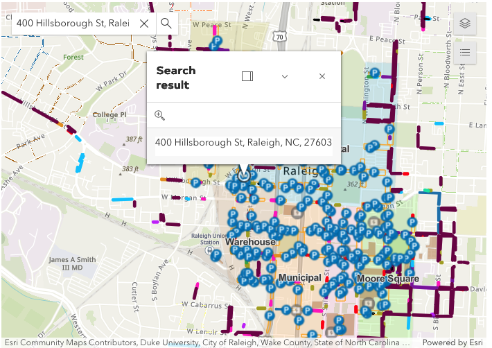
Parade Day Map and Route of The Parade
PARADE ROUTE:
- Begins on Hillsborough Street at the intersection of St. Mary’s Street
- Proceeds East on Hillsborough Street to the State Capitol
- Turns right onto Salisbury Street
- Turns left onto Morgan Street
- Turns right onto Fayetteville Street
- Turns right at Lenoir Street where it disbands
Length of Parade Route:
Approximately 1.4 miles
PARTICIPANT LINE UP AREA: http://goo.gl/maps/qLhTr
City Owned Parking Decks
City owned parking decks are available free of charge the morning of the parade. Visit the City of Raleigh website for more information on parking or click here to view Downtown Raleigh Alliance’s list of parking lots and decks in DTR.

Christmas Parade Parking Promo


